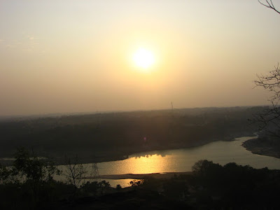
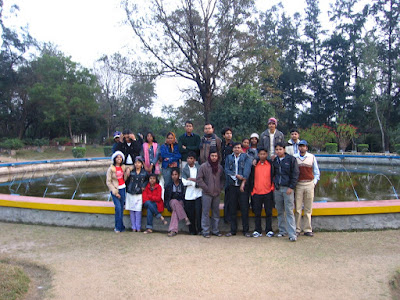
In January 2008, we, the students of UG1 Geological Sciences, Jadavpur University went to Maithon for 14 days. There we had to study the lithological and structural geology of the area surrounding the campsite near Maithon dam.
The first four days were spent learning the basic techniques and operations essential for geological field work, like use of clinometer-compass, map reading etc. Two days were spent visiting the Maithon dam and Ramnagore colliery. The entire batch of 32 students was thereafter divided into five groups and the area into five sectors.apter: The groups were then left on their own surveying the sectors one at a time for the next five days. Classes were held every evening to discuss the day’s work, inspect the rock samples collected and clear any doubts that may have risen during the day.
The region is not directly accessible by train. The nearest rail station is Barakar, situated 8 km from Maithon. It is also frequently accessed through Asansol or Ramnagore rail stations.
Regular bus services ply to Maithon from Dhanbad, Asansol and Barakar.
Local transport in the form of auto-rickshaws, trekkers are also available.
We however went to Asansol from Sealdah by Balia express, wherefrom we hired a bus to Maithon.
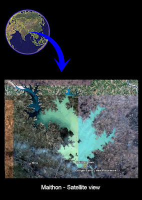
The region belongs to the Chotonagpur Plateau region and has an average altitude of approx. 200ft. The river Barakar marks the western boundary of the working zone. There are several hillocks about 700-800 ft. high in the northern part while the southern part is relatively plain with some undulations.
:::Objective of the field:::
14 days were spent studying the area in and around Maithon with the following objectives:
i) To learn the fundamental methods like measurement of attitude of beds and foliation of rocks, map orientation, plotting locations on map etc. which are essential for geological field work.
ii) To identify rocks and minerals in their natural surroundings.
iii) To learn to establish a relation between different rock-types seen, based on observations only, and from an idea about the chronology of the geological events that occurred in the region.
iv) To collect some samples from the field for laboratory test.
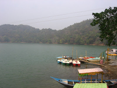
:::Visit to a dam and reservoir:::
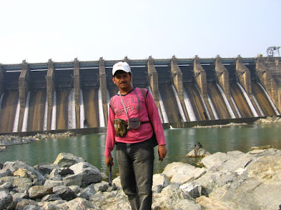
· Purpose: irrigation, hydropower, flood control, industrial and public water supply.
· River = Barakar; catchments area = 6294 sq. km.
· Year of commencement of work 1951
· Year of completion 1957
· Dam type = Earth fill gravity with concrete gravity
· Spill way maximum high above the lowest length at the top of the dam
· Non-over flood = 4603 m
· Spill way = 186 m
· Total volume of cement:
(i) Concrete = 244,000 cubic meter
(ii) Earth = 3,930,000 cubic meter
· Spillway: Type – controlled OGEE
No. of water radial gates – 12 nos.
Maximum discharge capacity – 14,160 cumec
· Reservoir: area at F.D.L. 107 sq. km.
gross storage capacity 13,69,200,000 cu. ml.
effective storage capacity 736,400,000 cu. ml.
· Power plant type: underground
· Hydraulic head: 39 M
· Maximum discharge 204 cumec
· Installed capacity 60 MW
· Generating units: Type – Horizontal (France)
Number – 3 units
Capacity – 20 MW each
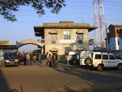
:::Visit to a Coal Mine:::
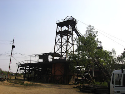
Ramnagore Colliery
The Ramnagore Colliery was previously owned by the Indian Iron and Steel Company (IISCO), the oldest iron and steel concern of India.
Iron ore and coal are the main requirements for the manufacture of iron and steel. Accordingly, IISCO owns 3 coal mines and 3 iron ore mines.
Ever since the merger of Steel Authority of India Limited (SAIL) and IISCO, all the mines and factories are owned by SAIL since 1.04.05
A total of 13,800 people work for IISCO or now SAIL of which 3,800 people work in the mines and 10,000 people work in Burnpur factory.
The Ramnagore Colliery is established on 2,838 acre of leasehold land which extends from the highway to a little beyond G. T. Road and from Kalyaneswari to Barakar.
The total coal reserve of Ramnagore colliery is about 11,438 m. which is 0.1% of India’s coal reserve.
The Ramnagore colliery is has 16 coal seams up to a depth of about 650 m. All of the 16 seams are mine able seams. The uppermost seam is Begunia. We visited the Laikdin seam. The Salanpur seam is presently closed. Each of these seams is named after the village where its surface exposure was found.
The dip of the coal seams is about 9-10. We were told about the presence of an up thrust fault in the seams of the colliery which raised the seams by about 27m. This reduced depth highly reduces mining costs.
:::Geological History of Maithon:::
Interference from Sector wise survey:
The northern part of the area surveyed was formed of only metamorphic rocks. The southern part, more precisely, southern halves of sector 1 and sector 2 contained sedimentary rocks. Thus we find a lithological boundary between sedimentary and metamorphic rocks.
This lithological boundary indicates a time-gap or UNCONFORMITY, between the formation of metamorphic rocks and deposition of sediments.
Occurrence of XENOLITHs in sector 5 & 4 indicate that the metamorphic rock originated from igneous rocks.
The quartzite found in sector-2 is however sedimentary origin. Sandstone probably got metamorphosed in contact with the igneous intrusion
This igneous intrusion though horizontal, is probably not a sill for it contained folded quartz veins.
Weathered metamorphic rock was mostly found the north-western part, which probably indicates longer duration of exposure.
Igneous dykes found in coal seams indicate a second period of tectonics, which probably tilted sedimentary succession and unconformity.
Interpretation about geological history of MAITHON:
The Maithon region is part of the extension of the Chota Nagpur plateau formed of Precambrian metamorphic rocks. Extensive igneous activity led to the formation of the plateau. These rocks were then metamorphosed to form the rocks we find today.
The amphibolites-gneiss and granite-gneiss found are part of these Precambrian basement. The basement was then uplifted due to tectonic activity which opened up a basin for sedimentation. The basement rocks develop the deformations probably during this upliftment.
The tectonic activity took several years to occur during which time no sedimentation took place. After this time-gap, sedimentation took place and thereafter, digenesis which formed the sedimentary rocks. These sediments are part of the Gondwana sediments and much younger than the basement rocks.
The sedimentary rocks also show layering, each layer corresponding to a definite time period. The khaki-green siltstone found is a part of Talchir boulder-bed. The coal seams found further south belong to the Barakar formation.
It is assumed that two igneous intrusions occurred. The first igneous intrusion, mark by the expansion by the igneous melt along the axial planes of the neutral folds occurred during the uplift of the basin. The second igneous intrusion occurred after completion of the formation of the sedimentary succession, simultaneously with another round of tectonic activity which tilted the unconformity to its present position.
The horizontal igneous layer and the lamprophyre dyke were formed during this second intrusion, which changed the adjacent forming quartzite and jhama coal respectively.
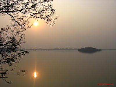
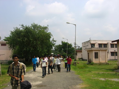
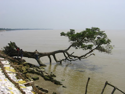
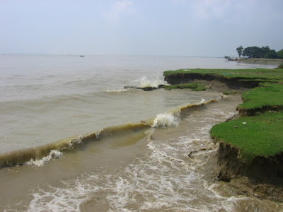
:::More Snaps of the Field Work:::
:::Acknowledgement:::
During the excursion at MAITHON in JANUARY, 2008, some of our distinguished professors accompanied us who extended great help and gave us great pleasure which we will never forget. We are really grateful to-
Dr. SUBIR MUKHERJEE
Dr. UTTAM Kr. BHUI
Dr. SUPRIYA MONDAL
During our visit to the RAMNAGAR colliery, the coal mine authorities much help giving us a lot of knowledge about the methods and hazards of coal mining. In this respect, we grateful to-
G.M.: Mr. D.S. Nigam
C.M.: Mr. C.V. Rajak
Safety Manager: Mr. K.M.Pal
Sr. V.T.I : R. pandey
Apart from these people we are also thankful to classmates without whose help and co-operation this fieldwork would have been so enriching.
______


